
Thunderstorms and Microbursts for Part 107
What the Part 107 test expects you to know about thunderstorms, microbursts, fronts and stable or unstable air, from the FAA's own handbook and study guide.
Weather is a small share of the Part 107 test, but its theory questions are some of the easiest points to lose, because the answers turn on exact phrases. Everything below comes from the FAA's Pilot's Handbook of Aeronautical Knowledge and the Remote Pilot Study Guide, the sources the test is written from.
What does a thunderstorm need to form?
The handbook lists three ingredients: sufficient water vapor, an unstable lapse rate, and an initial lifting action to start the process. Lifting can come from surface heating, a front, converging winds or terrain.
It then describes three stages:
| Stage | What happens |
|---|---|
| Cumulus | Lifting begins and strong updrafts build the cloud upward |
| Mature | Precipitation starts falling and drags air down; updrafts and downdrafts exist side by side. The most violent stage, reached within about 15 minutes |
| Dissipating | Downdrafts spread out and replace the updrafts; the top often spreads into an anvil |
The handbook's rule of thumb for manned aircraft is to stay at least 20 NM from severe thunderstorms, because hail may fall miles outside the cloud. For a drone, the practical rule is simpler: do not fly when one is nearby.
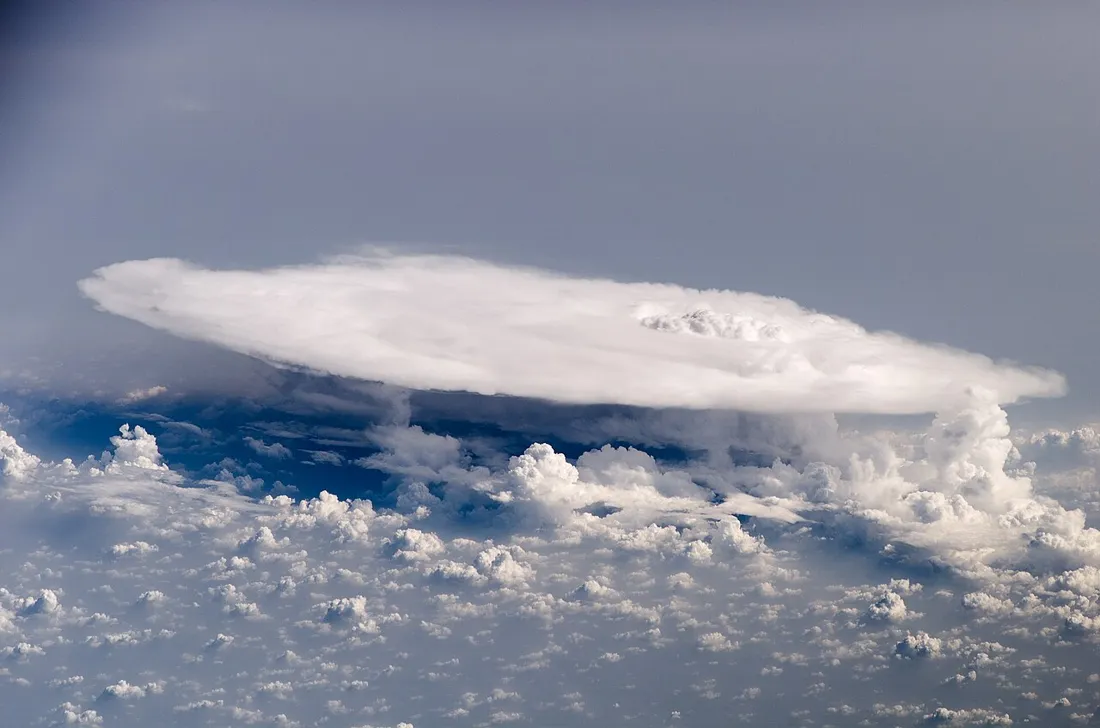 Cumulonimbus cloud with a flat anvil top seen from the International Space Station above smaller cumulus
A mature thunderstorm's anvil, photographed from the International Space Station. NASA, public domain, via Wikimedia Commons.
6,000 fpm
the downdraft speed a microburst can produce, per the FAA handbook
What is a microburst?
The handbook calls the microburst the most severe type of low-level wind shear. A typical one is 1 to 2 miles across and about 1,000 feet deep, lasts about 5 to 15 minutes, and can produce downdrafts of up to 6,000 feet per minute. The visible clues can be subtle: an intense rain shaft at the surface, or virga at cloud base with a ring of blowing dust below.
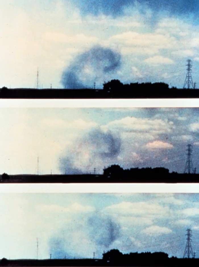 Three-frame sequence of a microburst outflow curling outward from a rain shaft near the ground
A microburst's outflow curling along the ground, in three frames. NOAA National Severe Storms Laboratory, public domain, via Wikimedia Commons.
For a drone flying a few hundred feet up, a microburst means a sudden, violent downdraft and a burst of outflow wind along the ground in every direction, stronger than most small aircraft can fight.
How do stable and unstable air differ?
The study guide gives a short table, and the test quotes it almost word for word:
| Unstable air | Stable air |
|---|---|
| Cumuliform clouds | Stratiform clouds and fog |
| Showery precipitation | Continuous precipitation |
| Rough air (turbulence) | Smooth air |
| Good visibility, except in blowing obstructions | Fair to poor visibility in haze and smoke |
A temperature inversion is a layer where temperature rises with altitude. The study guide calls inversion layers shallow layers of smooth, stable air close to the ground, and says high humidity in them can produce clouds, fog, haze or smoke with poor visibility. That is the answer to the FAA sample question on an inversion with high relative humidity.
The FAA's sample questions include all three of these patterns: moist unstable air means turbulence and showery precipitation, stable air means poor visibility and steady precipitation, and an inversion with high humidity means smooth air and poor visibility. The sample questions post has the full set.
What happens at a front?
The study guide defines a front as the zone between two air masses with different properties, where temperature, humidity and wind can change quickly over a short distance. The handbook adds that wind shifts are most pronounced with cold fronts. Cold fronts tend to bring sharp, fast changes, while warm fronts give advance warning and can take days to pass. Squall lines, narrow bands of active thunderstorms, often form on or ahead of a cold front in moist, unstable air.
How does this show up on a TAF or METAR?
Thunderstorms are coded TS, often with rain as TSRA, and cumulonimbus clouds as CB after the cloud height. A TAF that shows TSRA in a TEMPO or PROB30 group is a forecast you plan around, not through. The TAF guide decodes those groups, and the METAR guide covers the reports.
What the exam asks about weather effects
The ACS element is UA.III.B.K1, weather factors and their effects on performance, with sub-elements from density altitude to lightning. Air masses and fronts are sub-element d, and thunderstorms and microbursts are sub-element e. Expect the stable and unstable characteristics, the three ingredients and three stages, and microburst facts. Density altitude is sub-element a of the same element.
Moisture, instability, lift. Remove any one and the thunderstorm does not form.
Fog, icing and wind around terrain are covered in the fog, icing and wind post.
The free diagnostic includes weather questions scored against the current FAA blueprint.
Check your weather knowledgeFree diagnostic
Weather questions trip up more test-takers than any other area. Find out if you're ready.
Take the free 10-minute diagnostic